Community: The Secret to Stopping Deforestation in Guatemala
The forest concessions of the Maya Biosphere Reserve have boasted a near-zero deforestation rate for 20 years.
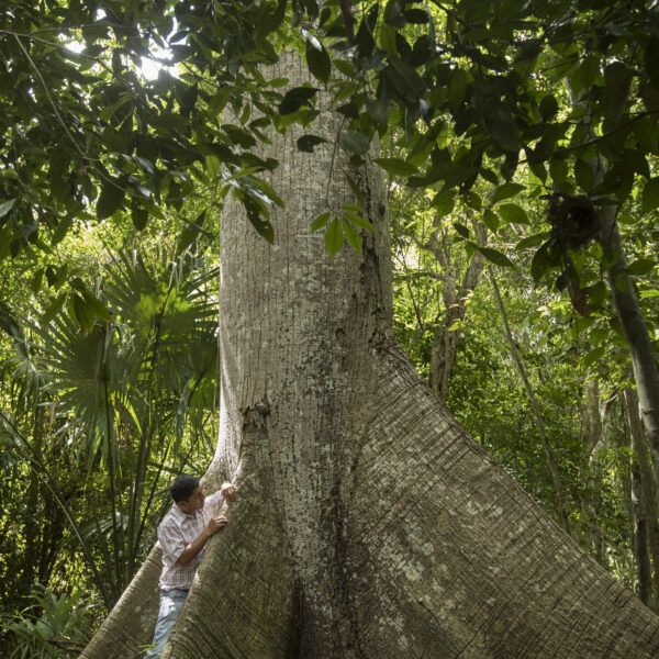
A full third of Mesoamerica is covered in lush forest, which serves as home to scores of Indigenous and local communities, iconic wildlife, archeological wonders, and abundant biodiversity. While agriculture is the backbone of the region’s economy, it also drives deforestation and climate change.
Prolonged droughts and frequent hurricanes are making it harder for farmers in Mesoamerica to make a living. A lack of access to international buyers and government support compounds the problem, leading some farmers to cut down forests for more cropland, while others migrate elsewhere in search of better opportunities.
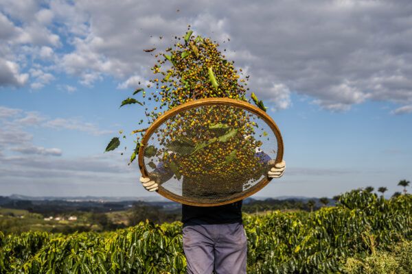
Our community forestry work in the Selva Maya is recognized around the world as a stunning success for people and nature. We also work with certified farmers on producing crops like coffee, cocoa, and fruits sustainably.
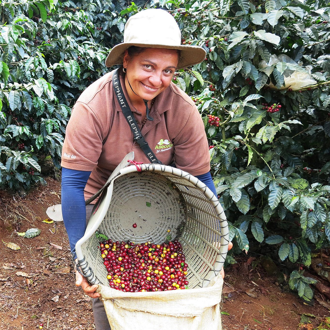
Through our certification program, we work to improve the sustainability of 61,443 smallholder farmers, 233 farm groups, and almost 3,000 large farms across 700,000 thousand hectares. Almost half a million workers benefit from these efforts.
Data through 2023.
We worked with community forestry businesses to improve their conservation practices while achieving US$53 million in sales of forest products from 2013 to 2023. As a result, the communities conserved one million hectares of forest.
We always start by listening. We work with farmers and forest communities to develop solutions to their specific challenges—which range from a lack of investment and business skills to poor soils and droughts. Our agricultural certification program supports farmers and workers, while our forest work helps both forests and communities thrive.
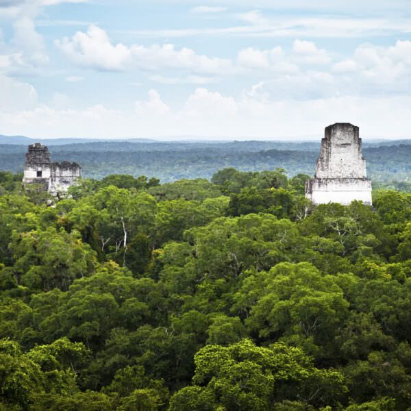
The forest concessions of the Maya Biosphere Reserve have boasted a near-zero deforestation rate for 20 years.

We worked with eight indigenous coffee-farming communities in Chiapas to build skills in fire prevention, business skills, and health and nutrition.
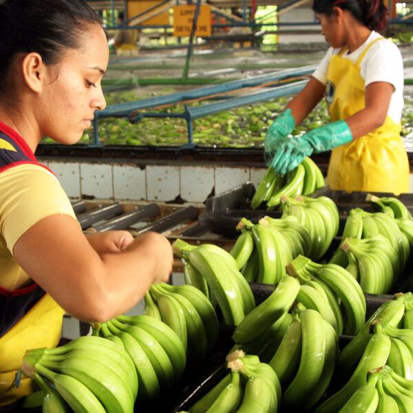
Rich biodiversity? Check. Well-treated workers? Check. Prepared for climate events? Check. Costa Rica's banana industry has a long history of worker abuse and environmental destruction—but these certified farms are proving there's a better way.
We are working to grow Mexico’s domestic market for sustainably produced products.
Lavazza's new plastic-free coffee system reflects growing efforts to reduce the environmental footprint of single-serve coffee without sacrificing convenience. The article explores how sustainability is becoming a key area of competition in the coffee sector and notes Nespresso's plans to launch a regenerative agriculture seal with the Rainforest Alliance in 2026.
Rainforest Alliance welcomes the launch of Lavazza’s La Reserva de ¡Tierra! Selection, the first professional coffee sourced from farms certified under the Rainforest Alliance Regenerative Agriculture Standard, marking a major step in bringing regenerative agriculture from ambition to reality.
The Rainforest Alliance welcomes the launch of Lavazza’s La Reserva de ¡Tierra! Selection, the first professional-focused coffee sourced from farms certified under the Rainforest Alliance Regenerative Agriculture Standard.
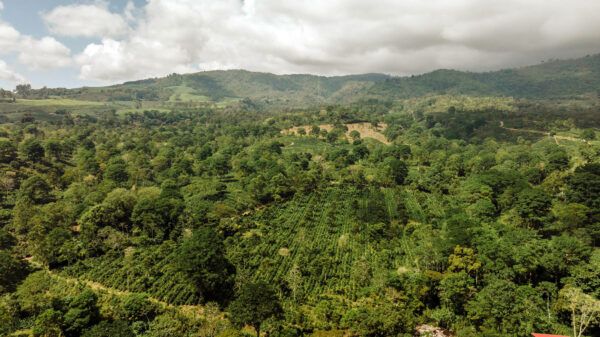
Our long-time partner Aquiares Estate shows what regenerative coffee farming can look like.... Continue Reading
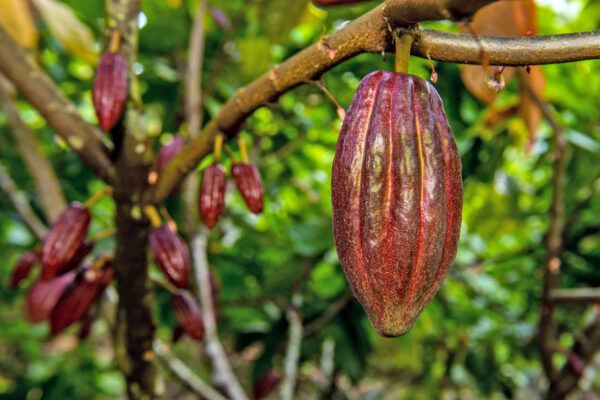
The Rainforest Alliance has supported Nestle Cocoa Plan’s work with cocoa farming families around the world since 2017. One of the services we offer is data-powered monitoring and evaluation of field programs, so we can better assess sustainability impacts for people and nature directly on the ground. Between 2017 and 2024, we visited nearly 12,000 […]

The Selva Maya Tropical Timber Trade Mission 2024 report details a multi-stakeholder initiative aimed at promoting the international trade of sustainably sourced tropical timber from forest communities in Mexico and Guatemala. Building on the 2023 mission, the 2024 edition deepened collaboration between community forest enterprises, timber traders, NGOs, and government bodies. It highlights key activities, […]